


Loomis Trail Golf Club Yardage Guide


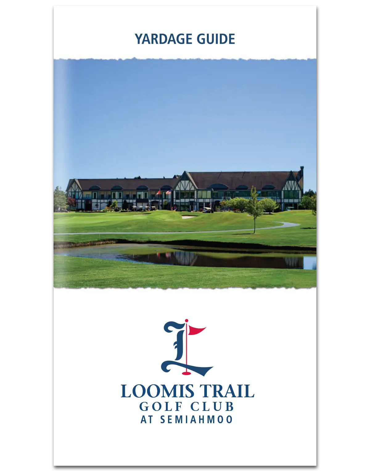
Loomis Trail Golf Club Yardage Guide
Previous versions were produced by an outside agency that specializes in these particular booklets.
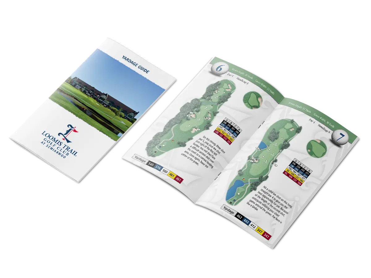
In order to retain full creative control, and content ownership of the project, management opted to commission aerial photography of the entire course. This ensured that all photos were of a high enough resolution to be suitable for press, while also guaranteeing that no cloud cover obstructions were present.
The use of raw aerial photos presented the follow-on task of image retouching and masking each hole from the surrounding terrain. Every photo was meticulously masked, color-corrected, and then enhanced with texture and pattern overlays to enhance the differences between rough, fairways, greens, sand traps, and water hazards.
Referencing the previous guide, along with confirming the details with the golf management team, each landmark was mapped to the new photos.
Made with Figma Sites Beta

Loomis Trail Golf Club Yardage Guide
Loomis Trail Golf Club Yardage Guide
Previous versions were produced by an outside agency that specializes in these particular booklets.
In order to retain full creative control, and content ownership of the project, management opted to commission aerial photography of the entire course. This ensured that all photos were of a high enough resolution to be suitable for press, while also guaranteeing that no cloud cover obstructions were present.
The use of raw aerial photos presented the follow-on task of image retouching and masking each hole from the surrounding terrain. Every photo was meticulously masked, color-corrected, and then enhanced with texture and pattern overlays to enhance the differences between rough, fairways, greens, sand traps, and water hazards.
Referencing the previous guide, along with confirming the details with the golf management team, each landmark was mapped to the new photos.
Made with Figma Sites Beta
Loomis Trail Golf Club Yardage Guide
Loomis Trail Golf Club Yardage Guide
Previous versions were produced by an outside agency that specializes in these particular booklets.
In order to retain full creative control of the project, as well as content ownership, management opted to commission aerial photography of the entire course. This ensured that all photos were of a high enough resolution to be suitable for press, while also guaranteeing that no cloud cover obstructions were present.
The use of raw aerial photos presented the follow-on task of image retouching and masking each hole from the surrounding terrain. Every photo was meticulously masked, color-corrected, and then enhanced with texture and pattern overlays to enhance the differences between rough, fairways, greens, sand traps, and water hazards.
Referencing the previous guide, along with confirming the details with the golf management team, each landmark was mapped to the new photos.
Never one to miss a marketing opportunity, the course details were bookended with additional resort marketing; including additional amenities available at the Loomis Trail Clubhouse, club membership–which included Semiahmoo Golf & Country Club, and the Spa at Semiahmoo Resort.
Made with Figma Sites Beta